Super User
How to submit a sighting
![]() Smartphone or device
Smartphone or device
First, download the app and create an account.
Second, click the + icon to add your spot and take a clear and close photo of the species. The app will ask you to choose the species you are observing, fill in the required information, and bam! You’ve just contributed to climate change science and it's that easy.
In the near future, you can click on the different flora and fauna species for an in-depth description and photos to help with the identification of species. This information is in much greater detail on each of the species pages on the website. Familiarise yourself with just a few species at first to build your confidence.
![]() Website
Website
Search for species in the drop-down species menu. Once you have identified the correct species, click 'Observations' and this will take you to the map, enter your login details or register for an account on the left-hand side. Then add your spot and fill in all of the required fields for your sighting. Don’t forget to upload a clear photo and location of the sighting.
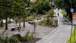
Yarra River, Main Yarra Trail opp Darling Gardens, VIC
The Birrarung, or Yarra River, is a significant place for our First Nations people and is a key biodiversity corridor in our city, providing valuable habitat for plants and wildlife. The City of Stonnington acknowledges the Boonwurrung, Wurundjeri and Bunurong people as the Traditional Custodians of the land and waters of our city and we respect the special relationship of First Nations’ people to the land and water.
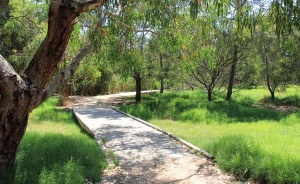
This ClimateWatch trail wanders through the biodiversity-rich rest areas across from Melbourne High School and Darling Gardens in South Yarra. Discover the 19 ClimateWatch species along the 200m trail including trees, flowering plants, grasses, land and water birds, insects and reptiles.
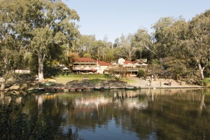
Yarra Bend Park, VIC
Yarra Bend Park is the largest area of natural bushland near the heart of Melbourne. The park features steep river escarpments, open woodlands, wild river escarpment, playing fields and golf courses. It is also a haven for native flora and fauna, with a total of 320 indigenous plant species recorded in the park. Animals found in the park include the platypus, water rat, bats, reptiles and diverse birdlife.
Yanchep National Park, WA
Yanchep National Park is 42 km north of Perth. Its bushland and wetland are home to western gray kangaroos and diverse birdlife. Trails include a raised boardwalk among trees inhabited by koalas.
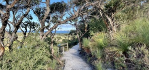
Wilsons Promontory NP, Lilly Pilly link track, VIC
At the southernmost tip of mainland Australia, Wilsons Promontory National Park offers spectacular scenery of huge granite mountains, open forest, rainforest, sweeping beaches and coastlines.
The ClimateWatch trail at the Prom is located on the Lilly Pilly link track. It is a short five minute walk from the Tidal River Visitor Centre to the signpost marking the starting point. The track is 900m long and can be accessible for all via a motorised Trailrider, allowing people of all abilities and ages to discover a wonderful sample of environments rich in birdlife, such as estuarine wetlands, lowland forest and heathlands.
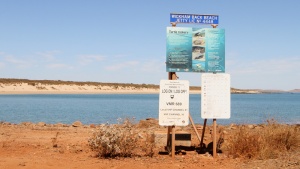
Wickham, WA
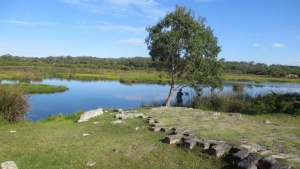
Werribee Open Range Zoo, VIC
Explore the Australian Journey and Wetlands Werribee Trails (Werribee River Boardwalk) to monitor species that are indicators of climate change. These trails are located within grassland and wetland habitats adjacent to the Werribee River and support a diverse range of flora and fauna.
The trail will take 45 - 60 minutes.
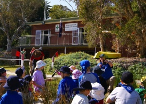
Waylen Bay Scout Group, WA
Waylen Bay/Heathcote Reserve are ideal beach and bushland environments for observing and recording environmental changes. The walk starts at Waylen Bay Scout Hall, The Strand Applecross. The trail also has Geocaching Activities and details can be located at www.waylenbayscouts.org.au. They can be used by themselves or in conjunction with the Species Identification list for extra fun.

